Map of Acadia
Credit: Library and Archives Canada, Acc. No. 1972-26-570
Remarks
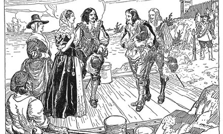
C.W. Jefferys' notes about this picture from The Picture Gallery of Canadian History Volume 1
Charnisay built a fort and established a settlement, the second Port Royal, about six miles from De Mont's Port Royal of 1605-1613. This new settlement was on the south side of the Annapolis Basin. After its capture by the British in 1710 its name was changed to Annapolis Royal, in honour of Queen Anne.
For the history of Acadia, read New England's Outpost, by Dr. J. B. Brebner, and Le Drame Acadien, by Antoine Bernard
Published References
- Jefferys, Charles W. 1942 The Picture Gallery of Canadian History Volume 1, p.129


Comments